Aerial imagery stories
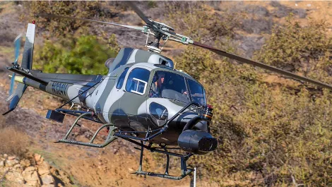
Recently the system was used for the movie A Wrinkle in Time with Reese Witherspoon and Oprah Winfrey, and Pork Pie, filmed in Glenorchy.
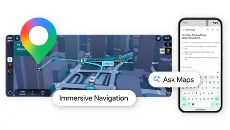
Google Maps taps Gemini AI for chat-style place searches and 3D Immersive Navigation, promising smarter planning and more lifelike drives.
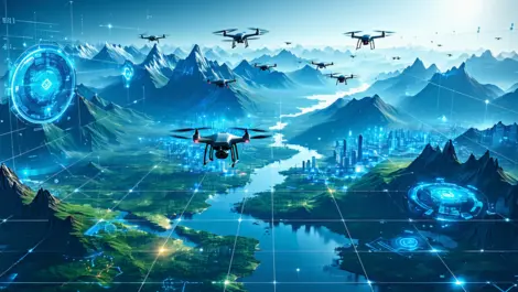
Aerologix and Soar have teamed up to launch the world's largest digital atlas, integrating over 36,000 drone pilots with 700,000 maps.
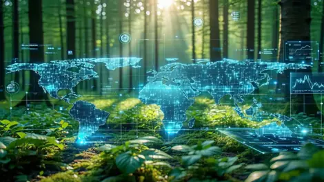
Picterra has unveiled Picterra Tracer, a GeoAI platform designed to enhance monitoring and compliance for soft commodities and forestry industries.
Nearmap has launched Generation 6 of its AI model, featuring over 130 location-based detections to enhance decision-making across various sectors.
Nearmap's sixth-gen AI model, developed with AWS, has slashed training time by a striking 98% and increased compute power up to forty times, enhancing precision in aerial imagery mapping.
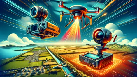
Leaders in drone technology, Carbonix, teamed with RIEGL and Phase One, to revolutionise aerial surveying and geospatial data acquisition, paving the way for efficient large-scale 3D terrain mapping.
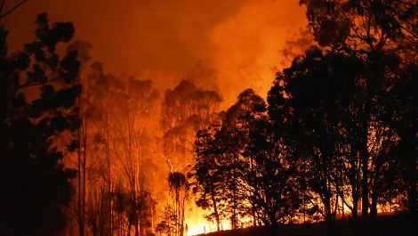
FireFlight's innovative real-time mapping technology aids Australian Army and relief teams in battling Kangaroo Island bushfires, enhancing recovery efforts.
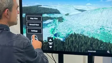
Communities will be able to judge the visual impact of planned infrastructure sooner, as a 3D consultation tool is rolled out for wind farm talks.
Woodland carbon investors could gain faster verification as New Gradient’s machine-learning system aims to replace manual surveys with year-round monitoring.
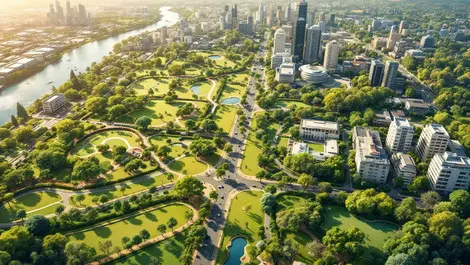
The Spatial Distillery Co. partners with Nearmap to provide Aussie councils AI tools transforming aerial data into targeted urban greening strategies enhancing city liveability.
As AI Appreciation Day nears, industry leaders spotlight AI's transformative impact across sectors, calling for a balance between innovation, transparency, and customer benefit.
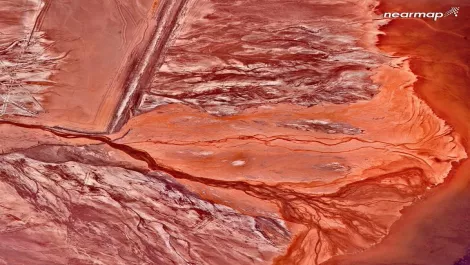
Sky-high revelation: Nearmap unveils breathtaking aerial views of Australia ahead of their 10th anniversary celebrations.